How it works
Current flows through a transmitter loop and is switched off rapidly. This changing field induces currents in the ground. A receiver records the secondary response over time. Earlier and later parts of that decay carry different information about the subsurface; interpreting them requires the correct equipment geometry and an appropriate earth model.
Where it is commonly used
Typical questions concern groundwater settings, conductive cover, saline formations, mineral exploration and electrical layering. TDEM can also help characterize near-surface conditions that affect an MT interpretation. Its suitability depends on the size, depth and conductivity contrast of the target.
Why use this approach?
The controlled source gives the team a known input signal. Repeat measurements and different time windows help assess data quality. For suitable layered settings, it can be an efficient way to investigate changes in conductivity before choosing the next survey or test location.
What it cannot tell you on its own
Clay and saline water can produce similar conductive responses. Metallic infrastructure, fences and power systems can contaminate measurements. Strong conductive layers can reduce sensitivity to what lies below. There is no single guaranteed investigation depth for every loop and geological setting.
From data to interpretation
We choose loop size, receiver arrangement and recording settings around the question. After access and layout checks, the team collects and repeats readings, records nearby interference and checks the decay curves. Processing separates reliable time windows from noise; modelling considers whether a layered or more complex interpretation is justified.
What you receive
Survey layout and repeatability records; decay curves; conductivity or resistivity models; interpreted layering or targets; depth sensitivity and limitations; recommendations for validation.
How it compares & fits with other methods
Unlike MT and AMT, TDEM uses an artificial source. It often complements them by adding information about a different depth range or target scale. Compared with drilling, it covers the ground indirectly; drilling provides direct samples at a much smaller number of locations.
An example decision
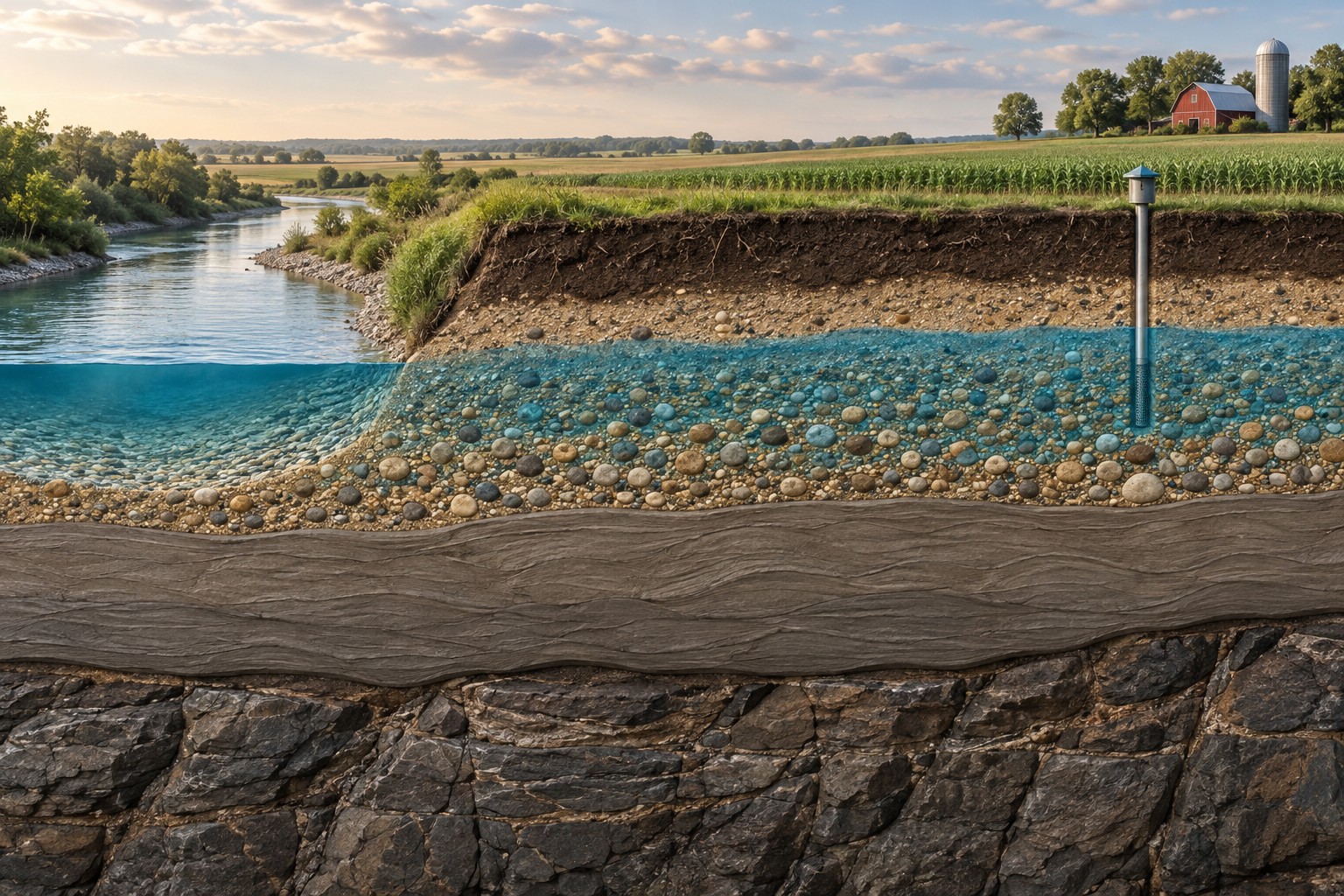
A Saskatchewan landowner is considering a groundwater investigation. TDEM may help identify the geometry of conductive and resistive formations, but a hydrogeologist must consider clay content, well records, water quality and yield testing before recommending a supply well.
Examples describe possible assignments, not completed Dwell projects. Equipment, acquisition partners, coverage and deliverables are agreed in the proposal.
Technical background ↗