Bring data together
Align locations, formats and scales so information from different sources can be compared meaningfully.
A map, a well log and a geophysical survey each tell part of the story. Our work is to understand how those pieces fit—and where they do not.
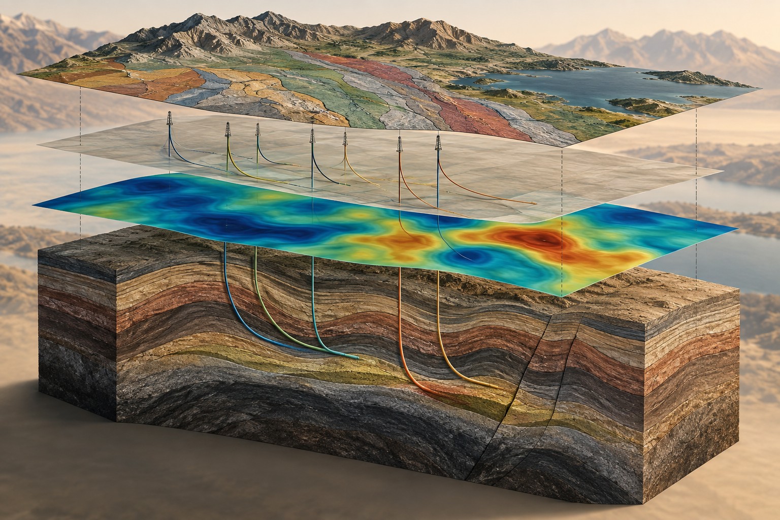
Dwell uses high-performance computing—often called supercomputing—to handle large datasets and demanding three-dimensional modelling tasks. This allows us to examine more detail and compare different explanations for the measurements.
More computing power does not automatically make an interpretation correct. The quality of the inputs, the assumptions in the model and experienced geological judgment remain essential.
Align locations, formats and scales so information from different sources can be compared meaningfully.
Find possible underground arrangements that explain the measurements, then test their sensitivity to assumptions.
Explain which features are supported by several sources and which need more measurements or direct testing.
Identify who collected it, where, when, how and under what usage terms.
Review noise, coordinates, units and coverage. Record limitations rather than hiding them.
A model is a possible explanation of the measurements—not a photograph of the underground.
Compare with wells, mapped geology and complementary surveys. Investigate disagreements.
Deliver maps, sections and a report that separates observations, interpretations and open questions.
Before collecting more data, we look at whether public or commercially available information can answer the question. We can help identify, evaluate and arrange the purchase or licensing of suitable datasets.
We distinguish public information, your own records and third-party licensed material. Ownership and permitted use remain explicit throughout the work.
Our preliminary tabletop consultation helps define the focus before you commit to a larger programme.