How it works
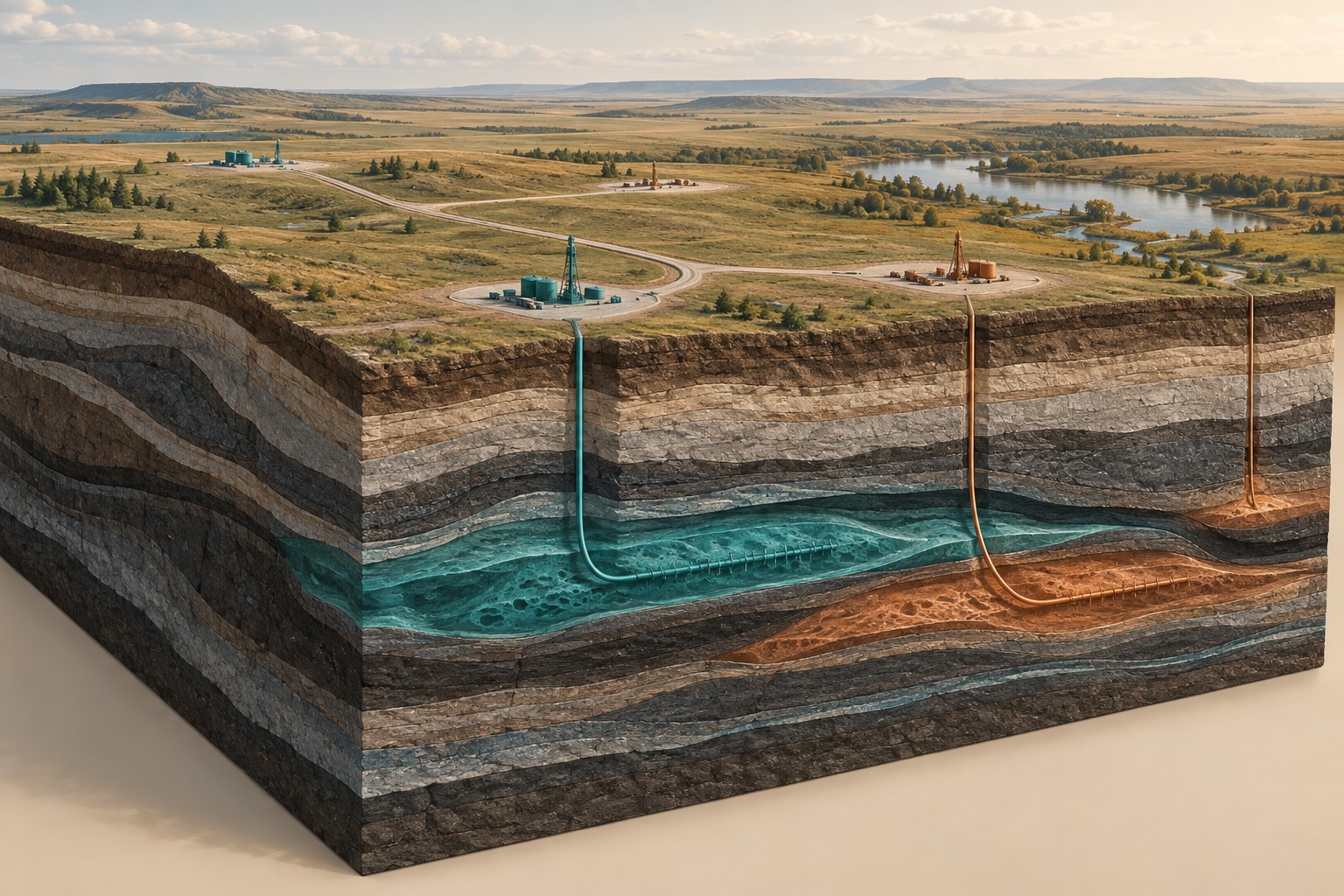
Seismic surveys record how elastic waves travel through and reflect within the ground. Well logs measure properties along a borehole; cores, cuttings and tests provide other evidence. These datasets describe different properties, positions and scales. Integration means reconciling them carefully rather than simply placing their images on top of one another.
Where it is commonly used
Basin and reservoir studies, geothermal screening, field development, brine investigations and geological storage screening can all benefit from existing wells and seismic. Alberta and Saskatchewan offer many settings where historical energy data can inform a new resource question, subject to access and licensing.
Why use this approach?
Well evidence can constrain the rock types and depths proposed by a geophysical model. Seismic can provide structural continuity between wells. Electrical, magnetic and gravity data may help test aspects of the interpretation that remain uncertain. Reuse can focus new acquisition on the most important gaps.
What it cannot tell you on its own
A well samples one location and may not represent nearby conditions. Old records may have uncertain coordinates, datums or processing history. Seismic travel time is not automatically depth. Missing tests and incomplete logs must remain visible in the assessment.
From data to interpretation
We inventory available records, check licences and coordinates, reconcile depth references and review quality. Geological markers are compared across wells. Suitable seismic interpretations are tied to the borehole evidence with specialist input, then compared with other geophysical models. We document conflicts instead of forcing agreement.
What you receive
A usable data inventory; correlated geological sections; interpreted surfaces and structures; a record of assumptions and conflicts; recommendations for additional measurements or specialist studies.
How it compares & fits with other methods
This is an integration service, not a claim that Dwell owns a seismic acquisition fleet or performs every well test. The project scope identifies existing-data interpretation, licensed-data sourcing and any specialist acquisition or engineering work separately.
An example decision
A geothermal developer is considering an older oilfield. We review well locations, temperatures, formations and available seismic to identify what is already known and which questions still require new testing before field development can be planned.
Examples describe possible assignments, not completed Dwell projects. Equipment, acquisition partners, coverage and deliverables are agreed in the proposal.
Technical background ↗