How it works
A detector measures gamma-ray energies and counts. With appropriate calibration and corrections, these measurements are used to estimate radioelement concentrations or equivalent concentrations. Surface measurements mainly reflect the uppermost ground; this is a different investigation from a gamma log collected down a borehole.
Where it is commonly used
Radiometric patterns can support mapping of surface materials, weathering and some alteration settings. In mineral exploration, they can help identify areas for geological follow-up. In Saskatchewan and other resource regions, they may contribute context to exploration, while requiring careful interpretation of cover and exposure.
Why use this approach?
Radiometrics adds a geochemical perspective that is different from density, magnetization and electrical resistivity. Existing survey maps may help distinguish surface units and focus mapping or sampling, particularly when integrated with terrain and geology.
What it cannot tell you on its own
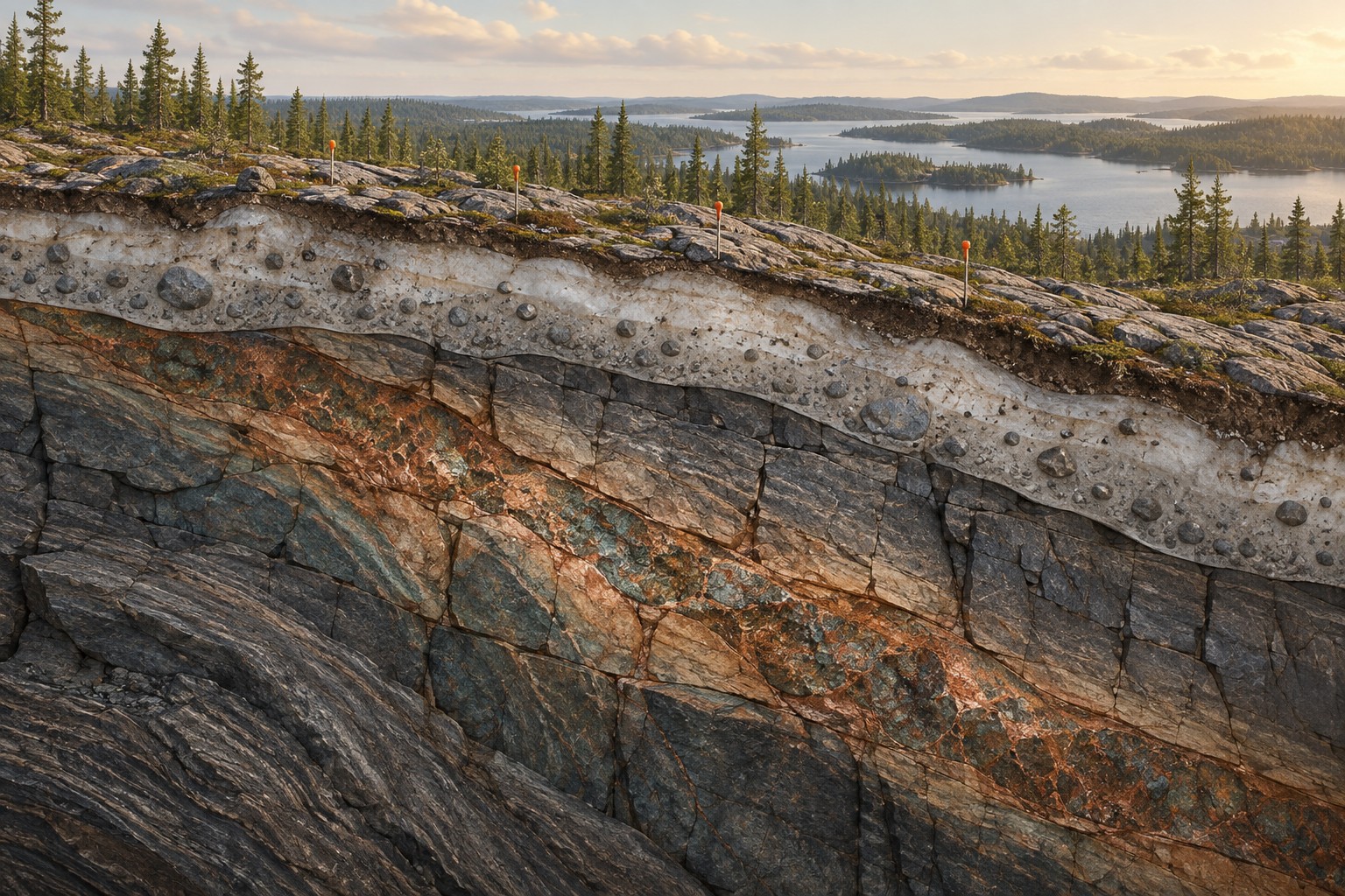
A surface radiometric survey does not see through thick overburden to a deep deposit. Moisture, transported material, vegetation, calibration and survey conditions can affect the response. A high uranium-related signal is not a resource estimate and does not replace sampling or specialist assessment.
From data to interpretation
We review the survey platform, calibration, corrections, coverage and ground conditions. We distinguish raw counts from calibrated products and check whether adjacent surveys are comparable. Ground follow-up or specialist acquisition is scoped to the question; surface sampling can test the geological explanation.
What you receive
Radioelement and ratio maps where supported; surface-material interpretation; data and environmental limitations; priority areas for mapping or sampling; integration with the wider geological model.
How it compares & fits with other methods
MT investigates subsurface electrical properties, often at much greater depth. Radiometrics is chiefly a surface-context tool. Borehole gamma logs provide information along a drilled hole and should not be confused with an airborne or ground surface map.
An example decision
A mineral team notices a radiometric pattern on a regional map. We first ask whether it follows bedrock, soil or transported sediment, then compare it with geological mapping before suggesting sample locations.
Examples describe possible assignments, not completed Dwell projects. Equipment, acquisition partners, coverage and deliverables are agreed in the proposal.
Technical background ↗