How it works
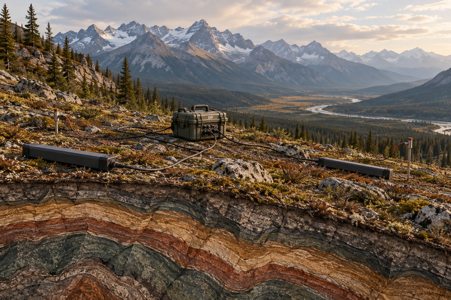
Electrodes measure tiny voltage differences along the ground, while magnetic sensors record changes in the natural magnetic field. A receiver records these signals together. Their relationship changes with the electrical properties of the subsurface. We process the recordings and build models that could explain them. Slower variations generally carry information from greater depth, although conductivity, noise and survey coverage determine what can actually be resolved.
Where it is commonly used
Geothermal teams use MT to investigate structures and conductive zones that may relate to fluids or alteration. Mineral explorers use it to understand covered geological architecture. Basin studies use it to investigate sedimentary thickness and basement structure. In BC, this may support interpretation in complex terrain; in the Prairie provinces, it may complement an extensive legacy of wells and seismic.
Why use this approach?
MT can investigate deep electrical structure without an artificial transmitter. It contributes information that gravity, magnetics and seismic do not measure. Where seismic imaging is difficult, electrical contrasts can offer another way to test the geological interpretation.
What it cannot tell you on its own
MT does not directly measure heat, identify an orebody or confirm a commercial fluid reservoir. Clay, saline fluids, graphite and some mineralization can all be conductive. Power lines and industrial activity can affect recordings. A good-looking model can still be poorly constrained between widely spaced stations.
From data to interpretation
We agree station spacing, recording duration, access and noise controls around the target. The field team installs electrodes, magnetic sensors and a recording unit, checks signal quality and documents each station. Processing includes noise review and uncertainty estimates before inversion and geological interpretation.
What you receive
Station and quality maps; processed electrical responses; two- or three-dimensional resistivity models where supported; interpreted structures; confidence and sensitivity assessment; recommended follow-up.
How it compares & fits with other methods
Compared with airborne natural-field EM, ground MT measures local electric as well as magnetic fields and can support detailed investigation at selected sites. Airborne systems can offer efficient regional coverage, but their measurement physics and depth sensitivity differ. Dwell does not acquire airborne MT. Existing airborne information can still help guide our ground programme.
An example decision
An Alberta geothermal proponent wants to choose an area for further investigation. We first review temperature and well records, use MT only if it can address a structural uncertainty, and test the electrical interpretation against the existing evidence. Temperature and flow still require independent confirmation.
Examples describe possible assignments, not completed Dwell projects. Equipment, acquisition partners, coverage and deliverables are agreed in the proposal.
Technical background ↗