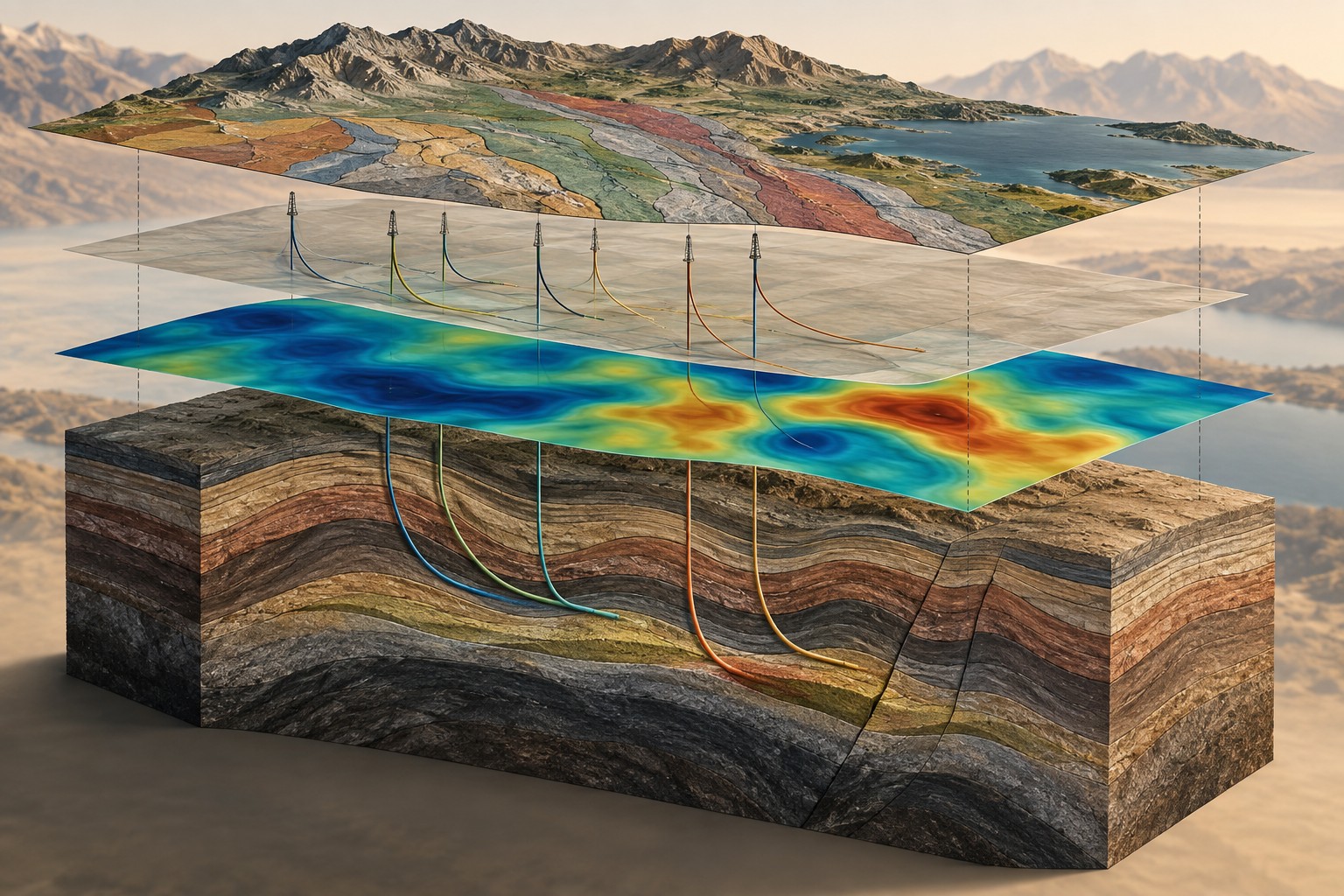
How it works
Sensitive instruments measure gravity at known positions. The interpretation must account for elevation, terrain and other predictable effects. What remains can be compared with models of rock density. Several combinations of depth, thickness and density can explain the same observation, so geological context matters.
Where it is commonly used
Gravity is commonly used to study basin geometry, basement highs and lows, large intrusive bodies and regional geological boundaries. These questions can matter to mineral, geothermal and energy projects. Existing regional surveys are often valuable during the first desktop assessment.
Why use this approach?
Gravity adds a density-based perspective to electrical and magnetic information. It can help test whether a proposed basin shape is plausible and identify regional trends worth investigating. Reinterpreting available data may answer a useful first question without commissioning a new survey.
What it cannot tell you on its own
Gravity does not identify a particular mineral, gas or fluid. Interpretation can be ambiguous without density measurements and geological constraints. Poor elevation control or inadequate terrain correction can create misleading features. Sparse regional data should not be presented as detailed site coverage.
From data to interpretation
We begin with the coverage and quality of available data. If new ground measurements are justified, survey design includes station spacing, elevation control, reference readings and repeat checks. We document processing assumptions and compare candidate density models against wells, mapped geology and complementary geophysics.
What you receive
Corrected gravity maps; data-quality and coverage information; structural or density models when justified; alternative explanations for anomalies; priorities for additional evidence.
How it compares & fits with other methods
Magnetics responds to magnetization, while MT responds to electrical properties. Gravity is valuable precisely because it measures a different property. Seismic and wells can constrain boundaries that gravity alone cannot uniquely locate.
An example decision
An Alberta team is reviewing the edge of a sedimentary basin. Gravity can test broad variations in basement geometry. Well picks and seismic horizons help constrain the depth, while MT may add evidence about the electrical structure.
Examples describe possible assignments, not completed Dwell projects. Equipment, acquisition partners, coverage and deliverables are agreed in the proposal.
Technical background ↗