How it works
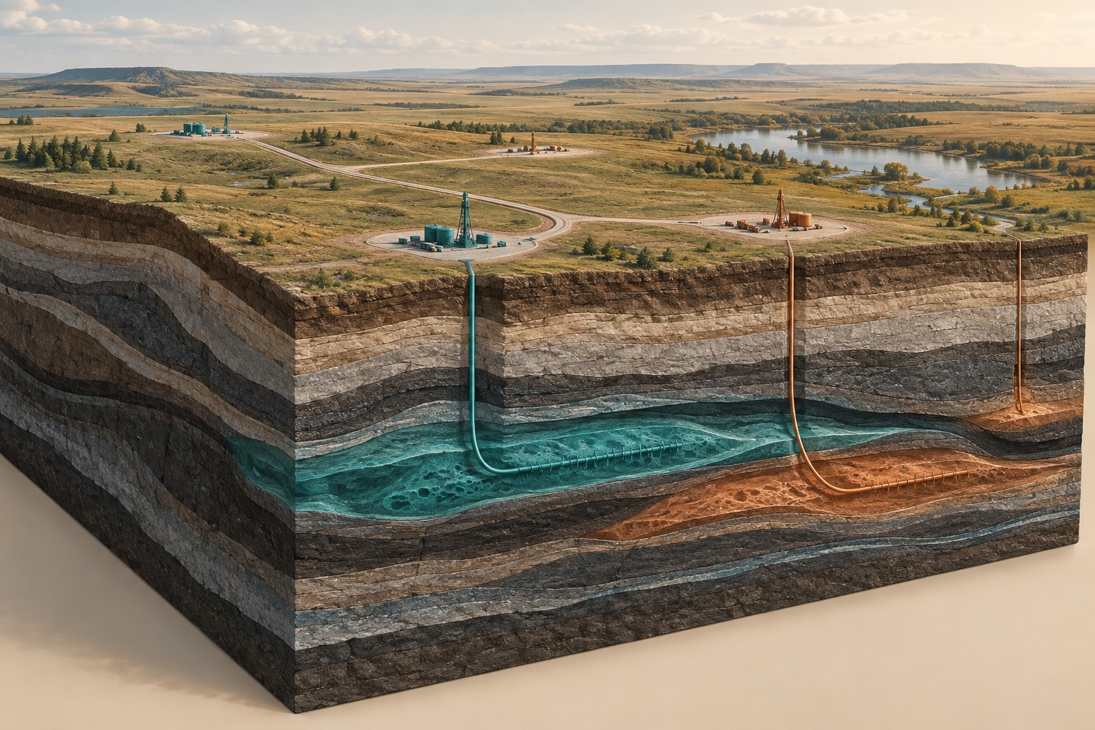
Overlapping images can be processed into a mapped image and a three-dimensional surface representation. Position control and independent checks determine how reliably those products align with other information. A surface model may include trees or buildings; a bare-ground terrain model is a different product and requires suitable observations and processing.
Where it is commonly used
Surface mapping supports station access planning, field logistics, infrastructure context and development options. It can help teams discuss slopes, routes and the relationship between proposed work and existing land use. Matt Thomas supports drone, topography and field verification within the agreed programme.
Why use this approach?
Current site context can reveal practical constraints that a regional map misses. Shared surface and subsurface coordinates make it easier for the field team, interpreters and project partners to discuss the same location. Clear imagery also helps communicate plans to people without specialist mapping experience.
What it cannot tell you on its own
Drone photographs do not reveal deep geology or see through dense vegetation. Weather, access and ground control affect what can be delivered. A planning map is not automatically a legal boundary survey or an engineering-certified design product.
From data to interpretation
We define the required map accuracy and coverage, assess site conditions and permissions, establish suitable positional control and plan the capture. Processing includes alignment and checks against independent reference information. Field observations are recorded alongside the maps so interpretation remains tied to actual conditions.
What you receive
Mapped imagery, surface or terrain products as scoped, field-access context, measurement-quality notes, and surface layers aligned with the project Atlas. The agreed deliverables distinguish observation, interpretation and proposed development features.
How it compares & fits with other methods
Drone surface mapping is separate from airborne MT or airborne geophysical acquisition. Its job here is to document the surface. Ground geophysics and existing subsurface evidence provide the information needed to interpret conditions below it.
An example decision
A proposed ground MT station lies near a steep drainage channel. Terrain and field verification help the team assess access and relocate the station appropriately, with the actual position carried through into the modelling and report.
Examples describe possible assignments, not completed Dwell projects. Equipment, acquisition partners, coverage and deliverables are agreed in the proposal.
Technical background ↗